Satellite Navigation (PNT)
High-Performance GNSS Signal Simulator BeiDou Short Message Integration Tester Modular Universal Signal Generator Portable GNSS Signal Record and Playback Equipment
LEO Simulator
LEO-L-band Nav Signal Simulator LEO-Ka-band Nav Signal Simulator LEO-C-band Nav Signal Simulator
Automated Support & Testing
Navigation Product Automated Test & Evaluation System Testing and Certification Standards

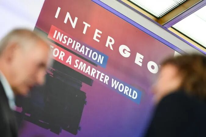
Frankfurt, Germany, October 7, 2025 (Local Time) – INTERGEO, the world's largest geomatics industry event focusing on mobile mapping, drones, and geospatial data, grandly opened at the Frankfurt Exhibition Center. From satellites in orbit to ground survey drones, from AI analytics to 3D digital twins – geospatial information has long transcended the boundaries of "specialist circles" to become a critical resource empowering political, commercial, and social development.

This year's exhibition, under the core theme of "Geospatial Digitalization and Intelligent Solution Innovation," attracted 630 leading global companies and 27,000 professional visitors gathered in the 30,000㎡ exhibition area. Participants jointly explored cutting-edge directions in geodesy, GIS technology, UAV applications, and smart city construction, focusing on industry trends and standards (such as GeoAI, LiDAR, GNSS, Scan2BIM) and the practical implementation in various key scenarios.

Viyur Technology, a provider specializing in R&D and manufacturing of global satellite positioning, navigation, timing (PNT), satellite internet communication & navigation, and artificial intelligence technologies, is deeply engaged in integrated "Satellite-Ground-Low Altitude" test solutions. The exhibited PD20 High-Performance GNSS Signal Simulator, PC20 High-Fidelity GNSS Signal Recorder & Player, and MY33 Portable GNSS Universal Signal Generation Module attracted numerous technology companies, experts, and industry observers from the geomatics field. They engaged in in-depth exchanges, experiencing firsthand the automated testing, evaluation, and analysis solutions for the new generation of navigation and surveying products, fostering integrated innovation in geomatics and committed to accelerating the world's intelligent transformation.
As the global geomatics industry advances towards high-precision and comprehensive coverage, Viyur's testing solutions become increasingly vital. Viyur's testing technologies are widely applied across several key sectors including surveying & mapping, planning, power, land & resources, mining, exploration, and transportation. Against the backdrop of the booming low-altitude economy, Viyur's low-altitude positioning test business demonstrates significant potential. This technological direction closely aligns with rapidly emerging applications like UAV surveying and mapping and urban low-altitude traffic management. Viyur is dedicated to helping users solve challenges related to high-precision PNT and timely wide-area communication, providing global users with highly reliable, high-confidence intelligent testing products and system solutions.
Leveraging the momentum of the exhibition, Viyur is expanding its global presence. With leading testing technology as its core engine, Viyur not only provides crucial support for the intelligent transformation but also strives to shape the future geomatics ecosystem and lead global industry change.
 +86 187 1100 3743
Email:xander@vunav.com